Fact Check US 50: Is Lake Tahoe Basin Well-Prepared for Wildfires ?
If you live in South Lake Tahoe or along the East Shore, are you confident that your family can safely evacuate along US Hwy 50 if a major wildfire threatens your home?
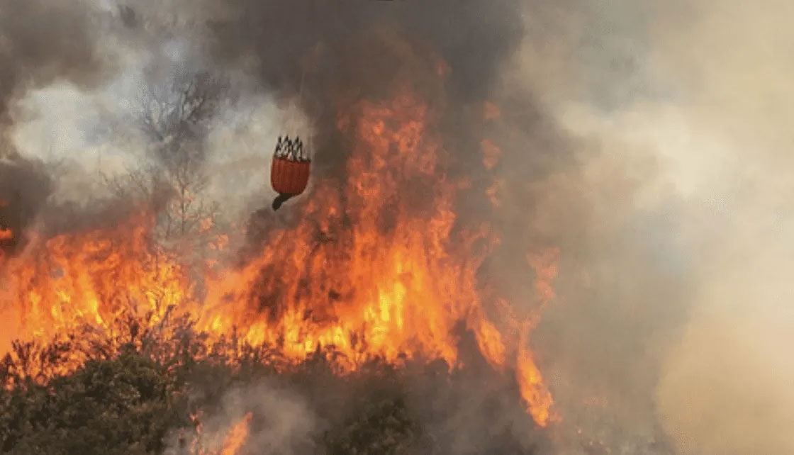
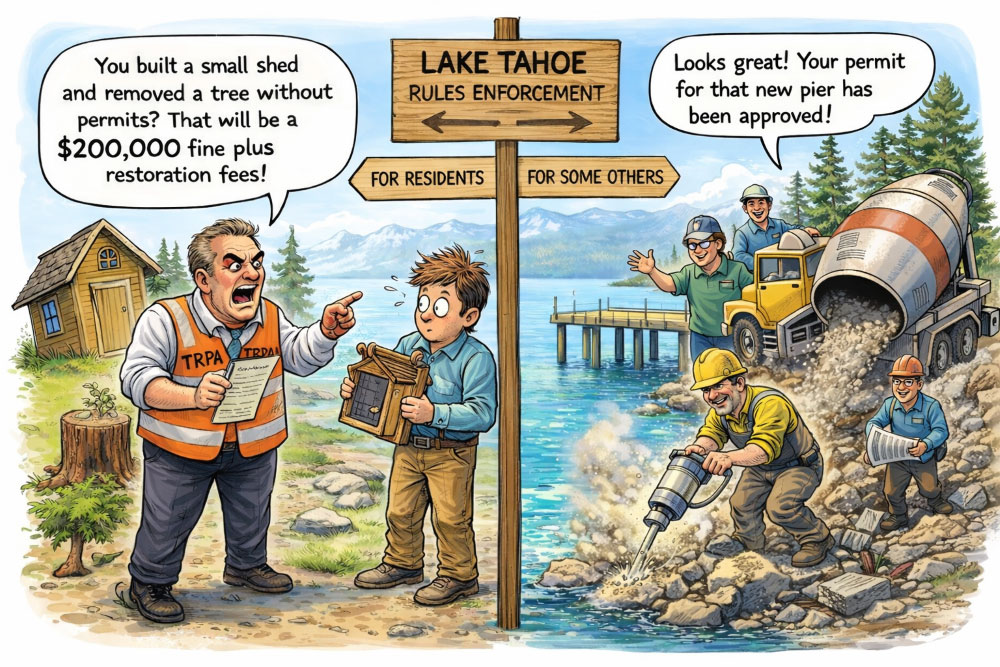
Let’s address the very real problem of evacuation in the Tahoe Basin. TRPA’s refusal to take wildfire evacuation seriously is a growing threat to our lake communities. Their efforts to impose road diet constraints on our primary evacuation route for public safety reasons, completely ignores the real safety threat from wildfire.
Our tech team ran a series of simulations for a 4-lane US 50, assuming a Caldor-like fire scenario starting at Lake Lucille, near Meyers. All four models show a massive loss of life, with approximately 90% of all vehicles and their occupants lost under best-case conditions. Obviously, a road diet would mean death for thousands more.
Conclusion
Actions that can—and should—be taken by government authorities to improve the evacuation and survival rates include:
- Improve forestry management practices in the Lake Tahoe Basin to mitigate the severity and spread of wildfires.
- Reduce time between wildfire detection and evacuation order.
- Further reduce wildfire spread rate through additional personnel and enhanced firefighting infrastructure.
- Increase (not decrease) road capacity within the US 50 East Shore corridor.
➔ For full report, see The Wildfire Evacuation Dilemma – A South Lake Tahoe Story.